Road salt pollution in Adirondacks lakes has been well documented over the last three decades and spotlighted for political action over the last decade. Contamination of residential and small business drinking water wells in lands downslope of heavily salted roads have also been documented, and in some communities is on the rise. The much-heralded Adirondack Road Salt Reduction Task Force was appointed in 2021 after legislation was passed to form it in 2020. This Task Force was created in honor of former Town of former Wilmington Highway Supervisor and Town Supervisor Randy Preston, who was outspoken about reducing road salt pollution.
The Task Force, led by Department of Environmental Conservation (DEC) and Department of Transportation (DOT), got off to a slow start with closed door meetings at first, followed by a few open meetings in 2022 after public criticism before it closed its door again to write its final report, which is now long overdue. At this point it appears that Adirondack Park communities will head into another winter without any meaningful actions to halt or mitigate road salt pollution.
Protect the Adirondacks and the Paul Smith’s College Adirondack Watershed Institute are in their 26th year of a partnership monitoring lakes and ponds across the Adirondack Park through the Adirondack LakeAssessment Program (ALAP). This program has compiled a long-term dataset of over 70 lakes that is invaluable because it provides 25-year trend lines about the water quality of many major representative lakes and ponds across the Adirondacks. ALAP has grown to be one of the best sustained water quality monitoring programs in the northeast US. ALAP is also a key source of road salt pollution data in the Adirondack Park along with the Lake George Association (LGA)/RPI Darrin Fresh Water Institute’s long-term study of Lake George.
Blue Mountain Lake, in Hamilton County, is a case study about road salt pollution. From a standard trophic status water quality assessment that looks at phosphorus levels, chlorophyll-a levels, and transparency, Blue Mountain Lake is categorized as an oligotrophic lake, a lake with the highest water quality. Blue Mountain Lake regularly sees water clarity readings of 9-10 meters, which is a very high level of clarity for an Adirondack lake where the average is around 4 meters.
Unfortunately, Blue Mountain Lake also ranks very high as a waterbody significantly influenced by road salt.Sodium and chloride concentrations, the key substances in road salt, hit levels of 14 mg/L and 19.9 mg/L respectively in recent years, indicating that salted roads in the Blue Mountain Lake watershed are impacting the chemistry of the lake. Its chloride concentration is greater than 86% of ALAP lakes and is approximately 100 times higher than background concentrations, or the natural level.
The high salt levels in Blue Mountain Lake are due to runoff from NYS Routes 28 and 30, which drain into three streams in the lake’s watershed — Minnow Brook East, Museum Brook, and Potter Brook, as well as 587hectares of land along the lake that is not drained by any specific tributary, but through which salt travels into the lake through the groundwater or sheet flow stormwater runoff. The big hill in Blue Mountain, still known locally as Museum Hill, flows into Museum Brook. (Neither local landmark has kept pace with the times, as neither have been renamed Adirondack Experience Hill or ADKX Brook.)
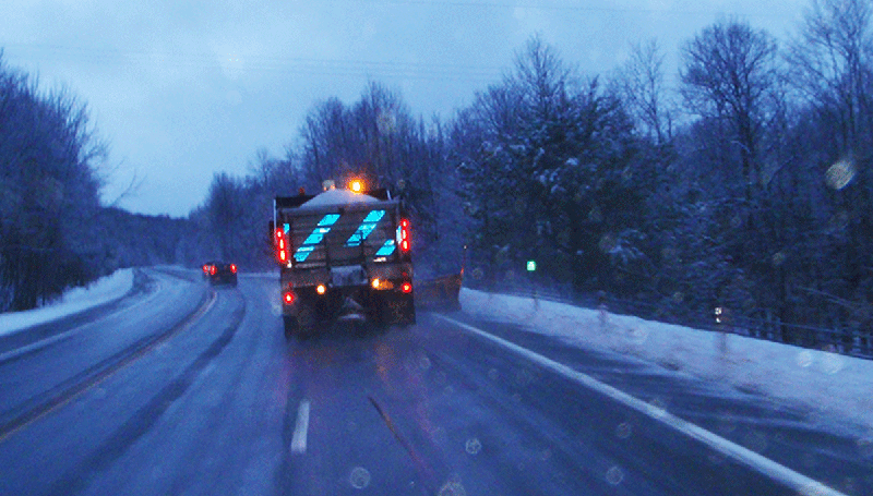
In the Adirondack Park we’re a landscape, and arguably a people too, more shaped by cold than warmth. We have six full months of winter and even though in this new era of climate change where it’s just as likely to rain as it is to snow in the winter, November to April are still predominantly cold, winter months. That said, it’s also not uncommon to see salt trucks out on the Adirondacks highways in October and even in early May during a last-gasp freak snowfall.
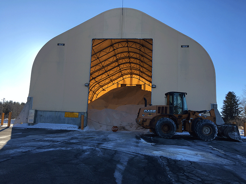
Across the Adirondacks, it is estimated that 193,000 tons of salt are put down on state and local roads each winter, about 110,000 tons on state roads alone. The NYS DOT applies on average over 23 tons of salt per lane kilometer on state roads annually. A standard state road, such as Routes 28 or 30, that runs east-west and north-south through the Park, has two lanes, so the math doubles. When we shift to miles, this means that over 32 tons of salt per mile are applied on these roads. Given that there is just over 11 lane miles of state roads in the Blue Mountain Lake watershed, a coarse estimate, along with local roads, of the annual road salt load dumped around the Blue Mountain Lake watershed roads is over 400 tons per year. Try to picture all that salt in terms of the filled beds of a long line of 2-ton pickup trucks.
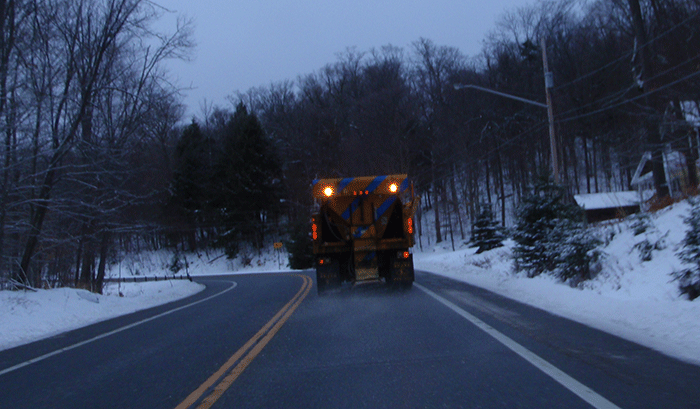
Thousands of tons of road salt are spread on Adirondack roads each winter. The salt washes directly into streams and lakes, or soils, where it is stockpiled. High levels of road salt raise serious threats from long-term impairments to the health and ecology,ogy of lakes and ponds in the Adirondack Park.
Scientists have calculated that 50% of the salt applied to Adirondack roads is washed into a stream and then carried to a lake or wetland. The other 50% travels to lakes and wetlands via groundwater from salt plowed onto the land, or blowed off the road, that creates a salt bank in the upland soils of a lake and pond. The salt in the salt bank is then carried to lakes, streams, or wetlands from groundwater charged by rain. Scientists have found that in summers with heavy rainfall the salt loading to lakes in summer months can often top loading in winter months. Pollution of groundwater has also contaminated hundreds of wells of residences and businesses across the Adirondacks.
Salt pollution is not something beyond our local control, like climate change or acid rain. We can’t point fingers at anybody else. It’s nobody else’s fault. This is homegrown pollution that we’re choosing to do by ourselves. Surface water in Adirondack lakes has naturally low concentrations of chloride. The only natural source ofchloride is the slow weathering of granitic bedrock and a small contribution from atmospheric deposition. In the Blue Mountain Lake watershed, for instance, Beaver Brook and Minnow Brook West are two streams on the west side of the lake that largely drain Forest Preserve and conservation easement lands that have no salted roads. These streams provide a good benchmark for the non-impacted streams, or streams in a natural condition, that illustrate baseline “background concentrations.” Testing has shown that salt levels in these streams is negligible.
In Minnow Brook East, Museum Brook, and Potter Brook, all of which are impacted by state highways, the salt levels are 25 to 100 times greater than in natural streams. To be crystal clear, the only plausible reason that we see such high levels of salt in these three streams is because we dump a lot of salt in them.
For Blue Mountain Lake we have conclusive data about road salt pollution. For Lake George we have conclusive data and communities on the lake have taken action to reduce road salt applications by local highway departments. On dozens of other lakes and ponds in the Adirondacks, and in many streams in the Park, we have conclusive data on salt pollution. Yet, year after year, winter after winter, snow and ice storm after snow and ice storm, nothing is done to reduce salt pollution in Blue Mountain Lake and most other negatively salt-impacted lakes in the Adirondacks. Across the Adirondacks, there’s no state-led experimentation with different technologies. There’s no innovation. There are no changes to winter road de-icing practices, no trial and error, no new technologies, no reforms, no roadmap to reduce or eliminate this pollution. Just pour on the road salt and flush it into the lake. Blue Mountain Lake is a salt polluted lake, and it is not alone.
Lake George has seen a tripling of salt concentrations in the last three decades and that trend must be reversed. Recently, Lake George has seen considerable experimentation in winter roads management where the LGA and Lake George Waterkeeper have worked hand-in-hand with local governments to reduce salt use. They’ve tried different blades on snowplows, new metering equipment to regulate the dispersal of salt, using less salt, and using salt brine, among other practices. The results are eye-popping with several Lake George towns, like the Towns of Lake George and Hague, seeing 50% or greater reductions of salt use.
Mirror Lake in the Village of Lake Placid has experienced steadily escalating salt pollution trends for years, which scientists believe changed key ecologic functions in the lake. The Village of Lake Placid has recently embraced new practices to reduce salt use in the Mirror Lake watershed. These reforms have helped to bend the upward curve of Mirror Lake salt levels.
It’s intolerable that many of the Adirondack Park’s grandest lakes are polluted by road salt. The intolerable shouldn’t be tolerated. Those close to the Road Salt Task Force say the DEC and DOT are far apart on highway management reforms. There is also a disgruntled group of members displeased with the heavy hand of the DOT and the weakness of some key recommendations. The proof is in the pudding, as in many ways we all know what needs to be done, because we’re seeing it around Lake George and Mirror Lake.
The Task Force has had enough time. If there is a minority report, it should be published with the final report. If the Department of Transportation is reluctant to embrace reforms, then the public should know that. If there is disagreement on proposed actions the public should be informed about the substance of those disagreements. If there are competing and contradictory recommendations, then the public should be able to sift through them all. Trust the fact that the public will be able to differentiate between strong and weak recommendations and separate the wheat from the chaff. We can handle the truth. What we should not have to do, is continue to wait, continue to absorb new pollution, and continue to dither with business as usual and no action.
Governor Kathy Hochul should order that this report be finalized and give the Road Salt Task Force no more than 60 days to release its final report to the public.

