Debar Mountain is a long, but rewarding trail, that winds through northern upland forests to ascend an open, rocky summit with stunning views of lakes and ridges to the south
Hike Debar Mountain
4.1 miles (8.2 miles round trip)
Duane, Franklin County
Northern Adirondacks
Hiking, Snowshoeing
The Hike Up Debar Mountain
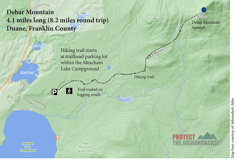
The hike up Debar Mountain is in Franklin County in the northern Adirondack Park. Debar Mountain is a mid-sized mountain whose trailhead is accessed at the Meacham Lake Campground and Day Use Area on Route 30 between Malone and Paul Smith’s. The trail is entirely on public Forest Preserve lands, part of the Debar Mountain Wild Forest. Debar Mountain is a long hike, at just over 8 miles round trip, but offers an open rocky summit with sweeping views of the northern Adirondacks.
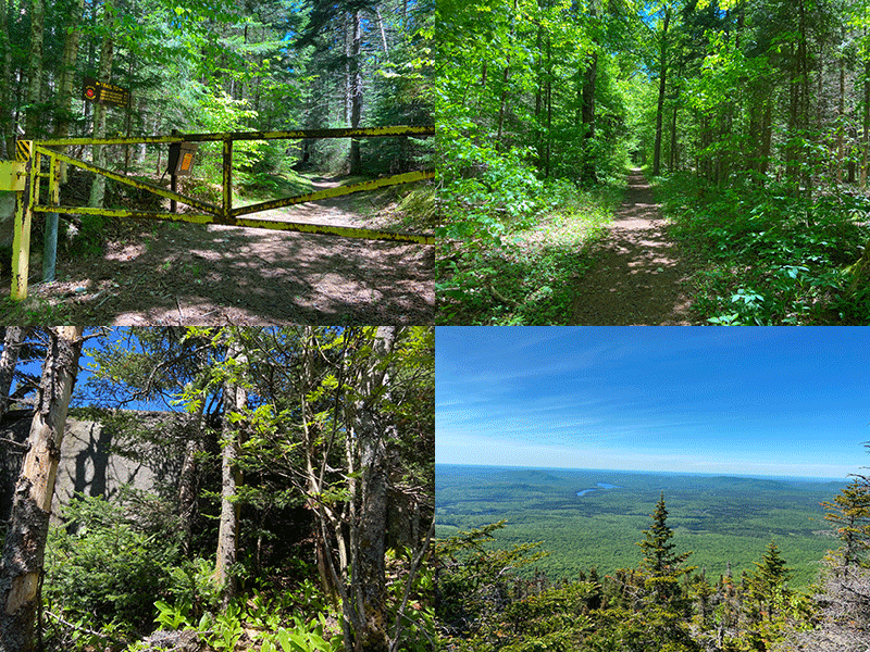
The hike up Debar Mountain traverses old roads, narrow hiking trails, and leads to a wonderful view.
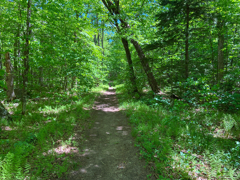
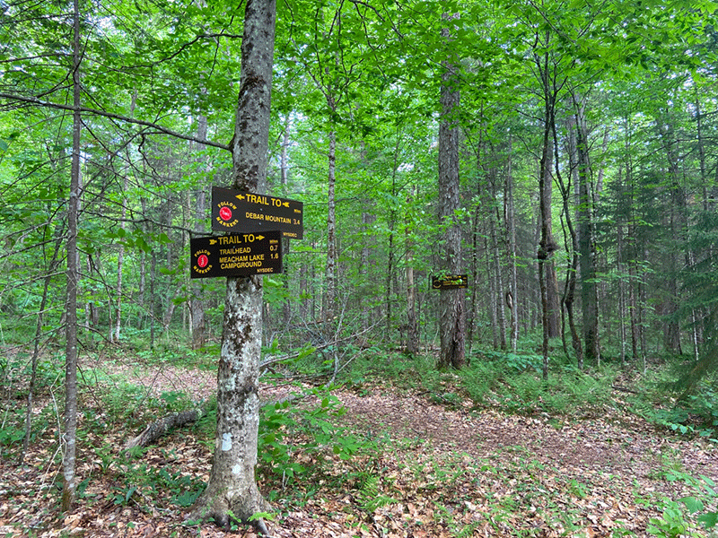
The Debar Mountain parking area is located in the Meacham Lake Campground; just follow the signs from Route 30. Sign in at the trailhead register that is just beyond a rusted yellow gate. The trail is marked by red trail markers. Initially, the trail follows an old road, and it is flat and wide, flanked by dense forest and low-lying ferns for the first 0.7 miles. After a stream crossing and a mild incline, the trail reaches a trail junction. A trail sign reads Debar Mountain 3.4 miles and directs hikers to turn left.
Debar Mountain Trail Passes through Beautiful Forests
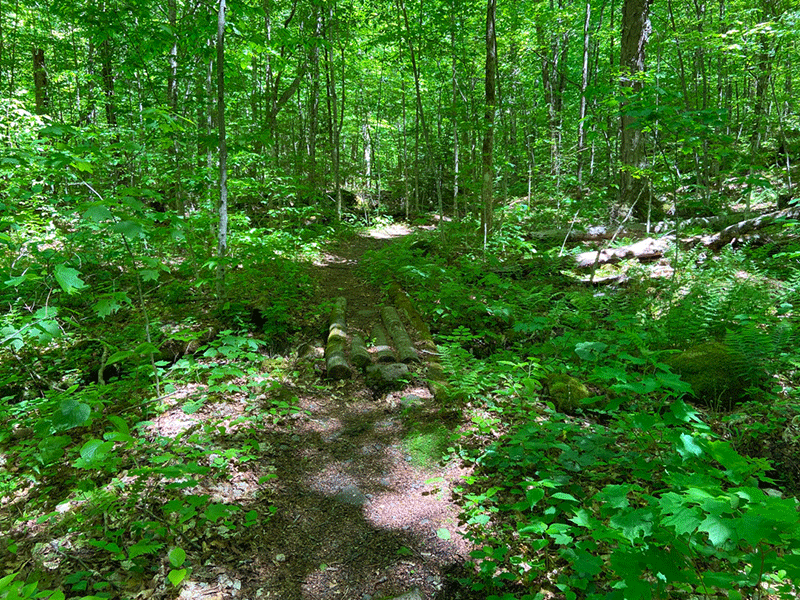
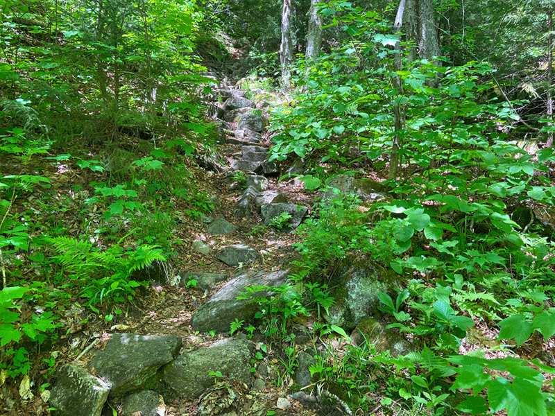
After the trail junction, the trail is largely a smooth dirt path, clearly worn and easy to follow. It slowly gains elevation for nearly two miles. The trail crosses many streams and wetlands, using stepping stones or small bridges. The trail is wet and muddy in a number of places.
Throughout this stretch, the trail cuts through a mid-successional forest with many large, mature yellow birch, maples, and ash, and many young beeches. At one point on the old logging road the trail crosses a ruined rusted culvert.
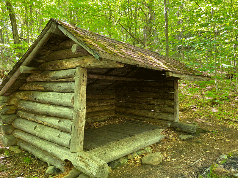
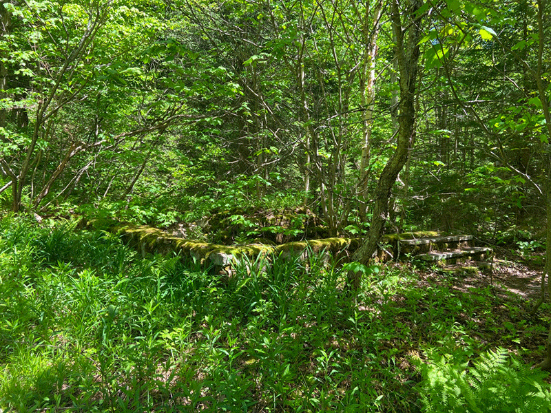
The first major landmark is at the 3-mile mark of the trail where there are a lean-to and firepit. This lean-to is fairly close to the mountaintop and is a great place to camp. Further on, the trail passes by an old cabin foundation with the front steps still in place. After the old foundation, the terrain becomes increasingly more difficult.
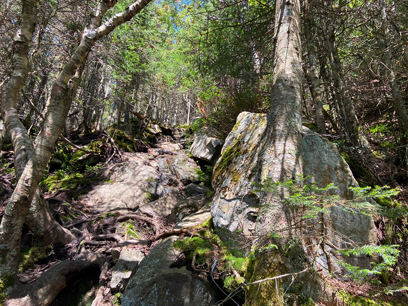
The steepest part of the trail is the final 0.5-mile ascent. Stone staircases have been built into the trail at several steep points. The forest shifts to large coniferous trees, with many spruce among them and whipping winds whistle across the summit.
The Ascent of Debar Mountain
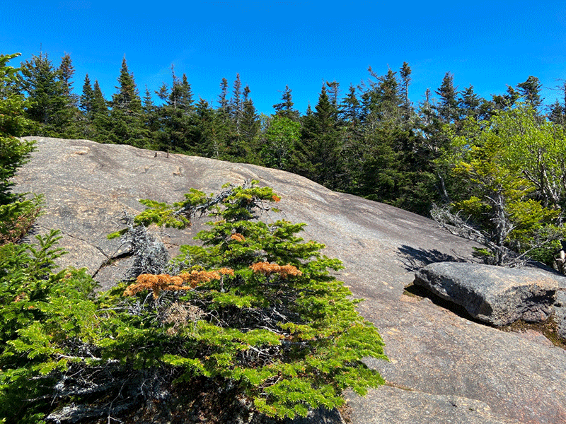
After a considerable steep stretch, the trail reaches a rocky outcrop 0.2 miles from the summit, that provides the first scenic overlook over the surrounding landscape. The view from this outcrop is dramatic, but not nearly as grand as the view from the top. This is a fine place to take a break from the ceaseless climb.
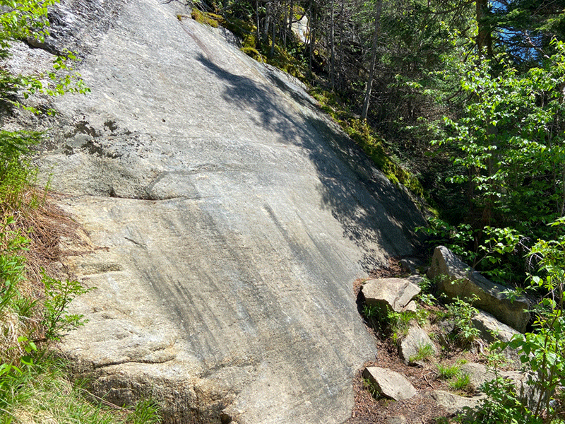
The marked trail hooks left along the ridgetop, so don’t be fooled by a herd path off to the right. Continue for a few hundred yards following the red trail markers. The trail gradually gains elevation until reaching a sheet of bedrock that sits level with the surrounding trees. The hiker can either scale the exposed bedrock or walk around it. The summit lies just beyond.
The View from the Top of Debar Mountain
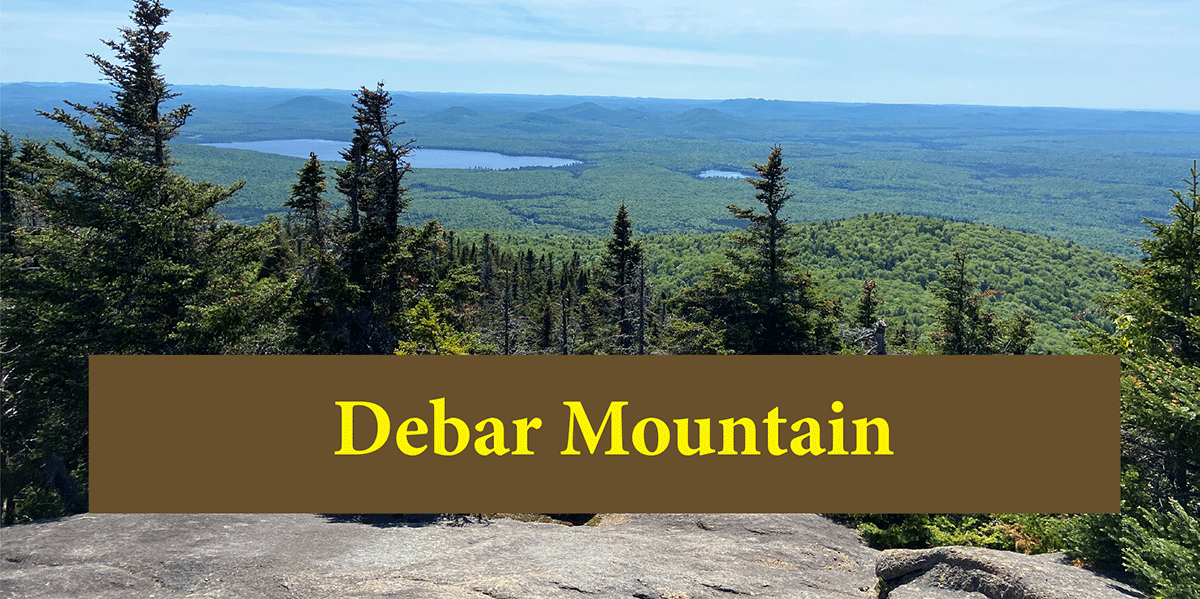
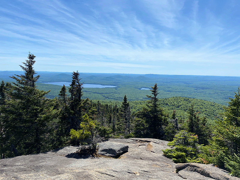
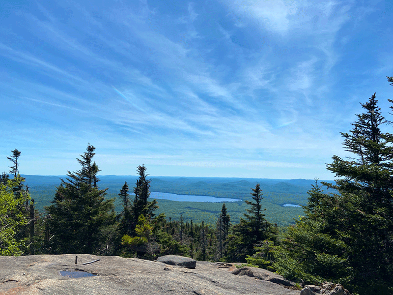
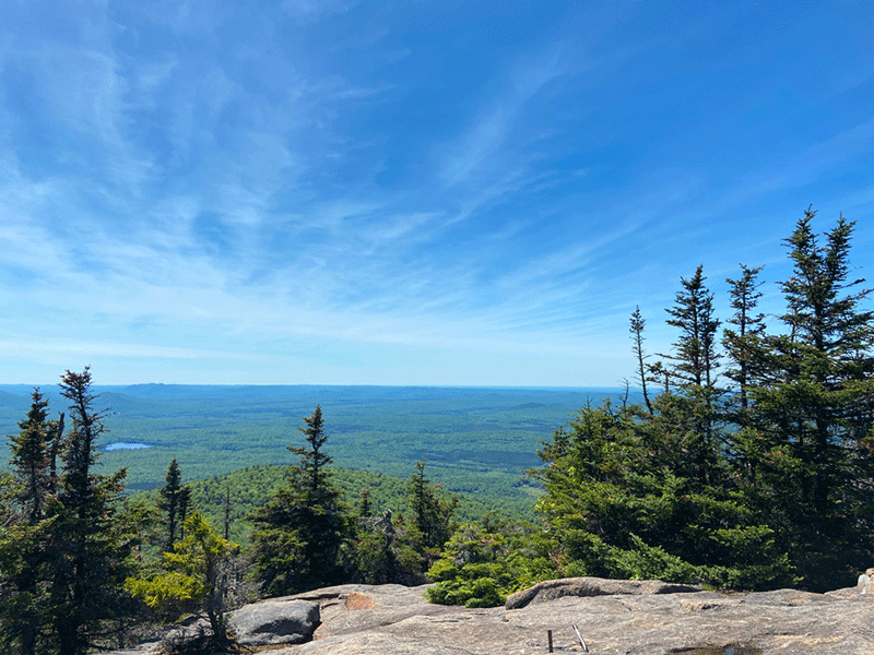
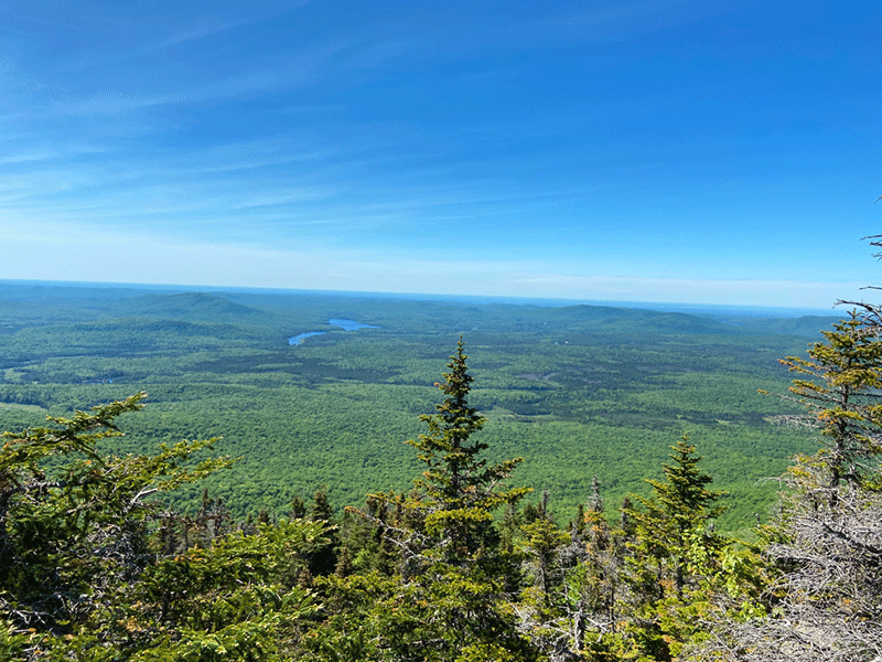
The summit of Debar Mountain offers a fantastic 180-degree view southward. Meacham Lake to the southwest and Loon Lake to the southeast break open the vast forest. The valleys below are a checkerboard of low elevation boreal forests that line streams and major wetlands, mixed with northern hardwood forests that cover the rolling hills. Taylor Pond Mountain and Silver Lake Mountain stand in the distance to the south, darkened along their spines with spruce forests.
The summit is open with many rocky spots for sitting and resting. The elevation of Debar Mountain is 3,305 feet and at just over 4 miles each way, a considerable effort is required to complete this hike. Because of its out-of-way location, and the long, tough, but rewarding trail, Debar Mountain offers a good chance for solitude.
The return trip follows the same trail as hiked in on. Descending the steep trail just off of the mountain’s summit demands agile footwork. This is a long and challenging, but rewarding, hike accessible for anyone who is comfortable with and able to walk the full 8.2 miles round trip.
Click here to download a map and trail directions for Debar Mountain
When You Hike Practice Leave No Trace to Be Prepared and Protect the Forest Preserve
Please follow “carry in, carry out” rules for all trash and follow Leave No Trace principles when hiking in the public Forest Preserve and other wild areas. The 7 Leave No Trace principles are: 1) Plan ahead and prepare ; 2) Stay on hiking trails and camp at designated areas; 3) Dispose of human waste and trash properly; 4) Leave what you find; 5) Minimize campfires; 6) Respect wildlife; 7) Respect other hikers.
Educated hikers do not damage the environment. Prepared hikers do not need search and rescue unless injured.
Winter Use: Debar Mountain is used for snowshoeing in the winter.

