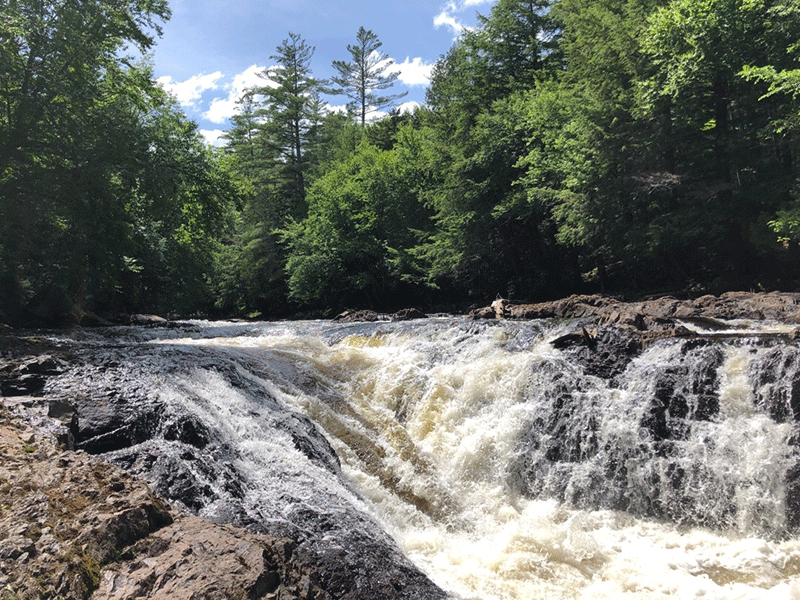
The hike to Raquette Falls traverses through beautiful forests and winds along the Raquette River to two roaring waterfalls
Raquette Falls
4.4 miles (8.8 miles round trip)
High Peaks Wilderness
Tupper Lake, Franklin County
Hiking, Snowshoeing, Cross-Country Skiing
Level of Difficulty: Moderate
Hike to Raquette Falls
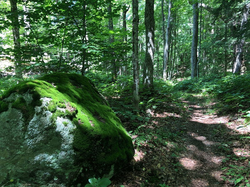
The 4.4-mile Raquette Falls Trail is on the western edge of the High Peaks Wilderness and winds alongside the beautiful Raquette River. The trail ends at a pair of beautiful waterfalls on the Raquette River.
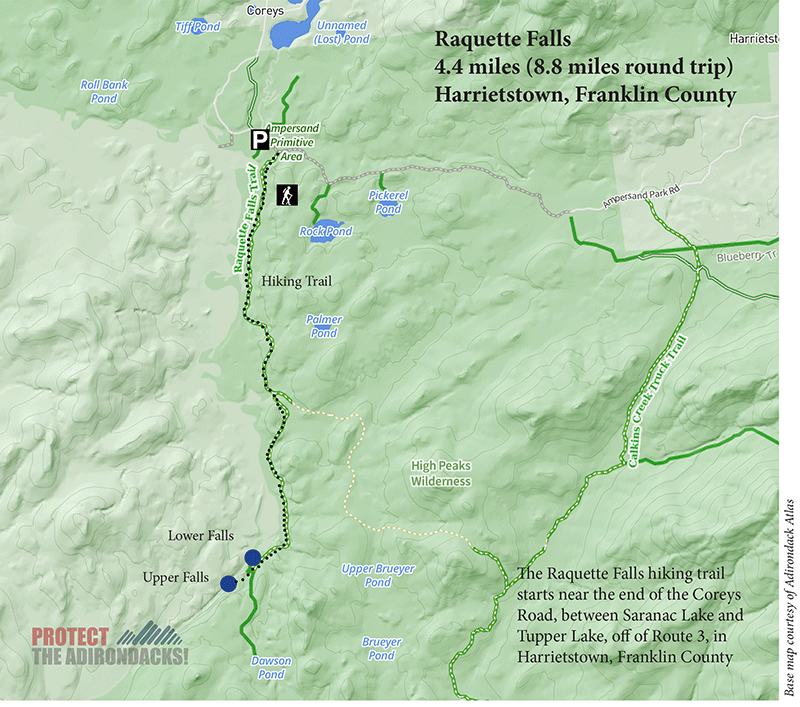
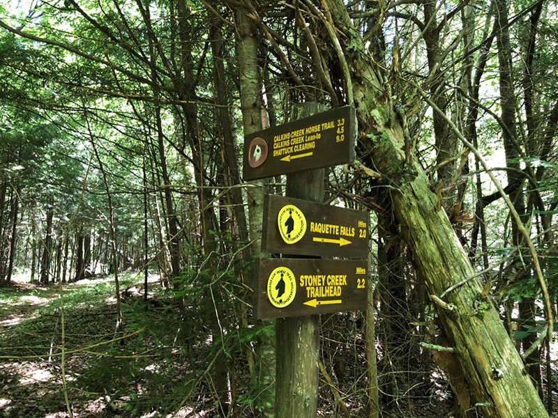
The trailhead parking is on Corey’s Road, which is accessed from Route 3 between Tupper Lake and Saranac Lake. After turning onto Corey’s Road, keep left at the split to avoid Axton Landing. The parking lot is located on the right side of the road. Although more popular as a ski trail, the hiking route is well marked and maintained and leads past sunny wetlands and stony woodland streams. The hike to the Lower Falls is 8.8 miles round trip; reaching the Upper Falls adds about a mile to that total. The hike also passes a number of riverside campsites, lean-tos, and beaches, making it a perfect hiking destination for anyone seeking to spend a few days in the area.
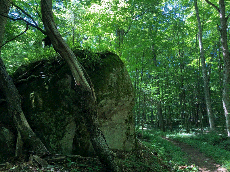
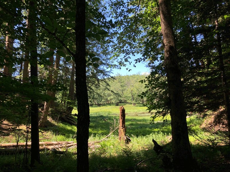
The trail leads out from the parking area through a dense forest of tall red pines. A side-trail on the right that’s 200 yards long leads to the Stony Creek lean-to that sits right above the river. As it weaves up and down over the first mile, the trail passes a number of open wetland areas on both sides. About a mile in, the trail passes through a stretch of small hemlocks.
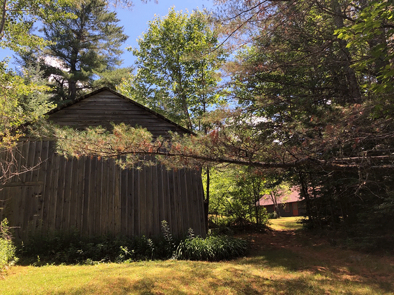
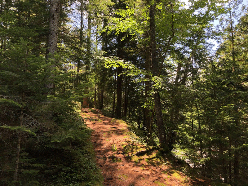
After 2.3 miles, the trail reaches a junction for a number of horse trails where it turns right across a bridge over a wide and rocky stream. The trail then climbs up, rising over a ridge where water is visible through the trees on both sides. Descending, the trail passes several sunny wetlands again as it moves closer to the river’s edge. Eventually, the winding descent flattens out in a pine forest. The narrow trail runs for a few hundred yards before opening into a junction with big grassy meadows around the Raquette Falls Interior Outpost at the 4.2-mile mark.
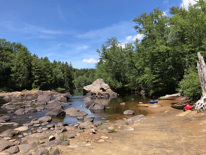
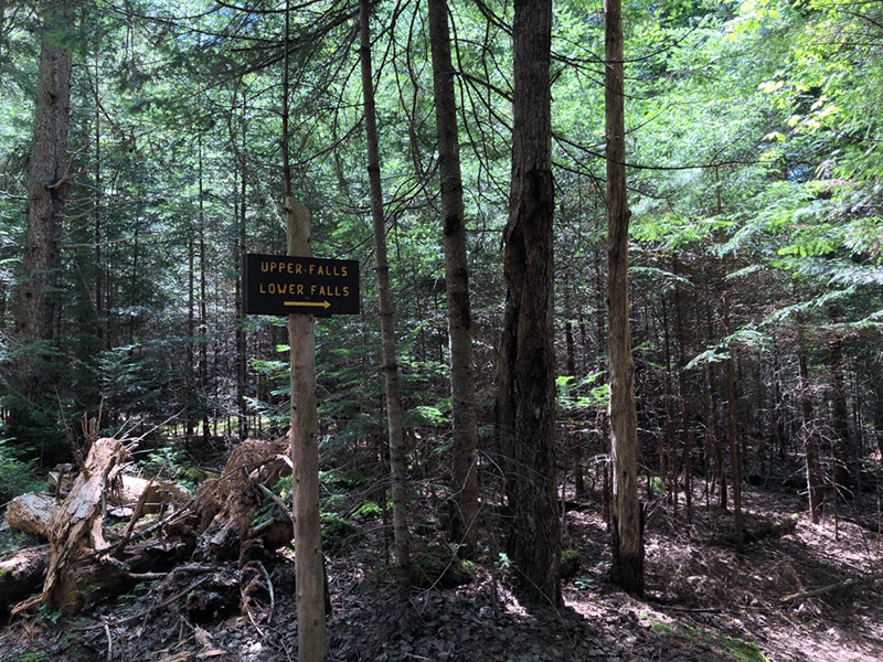
The trail to the falls continues past the Interior Outpost, a lean-to, and campsites. This trail is now also the carry from Long Lake to the Raquette River. A short side trail to the right leads to a popular yet peaceful sandy beach and canoe destination. The spot is ideal for relaxing and enjoying the calmer waters downstream, before continuing on to the falls. Returning to the main trail, the Lower Falls path extends about another quarter of a mile, dropping down to the right to reach the rocky shore.
The Lower and Upper Falls
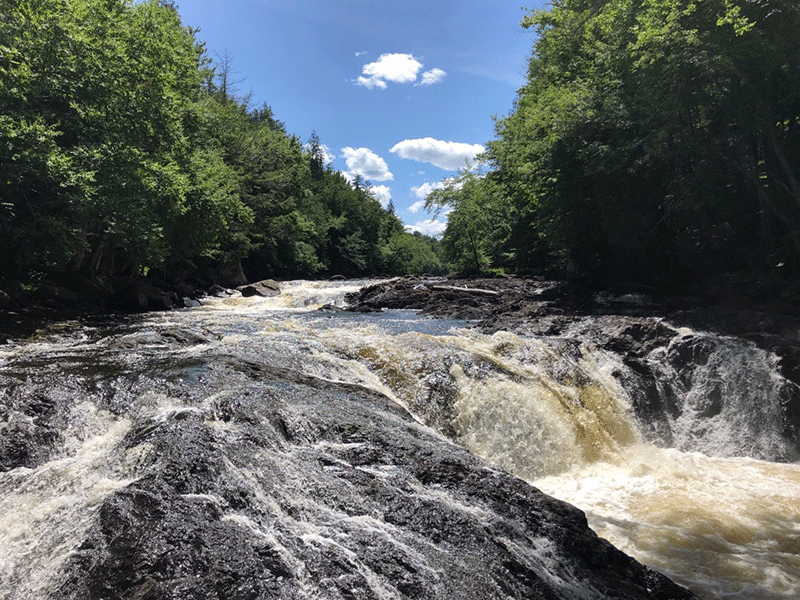
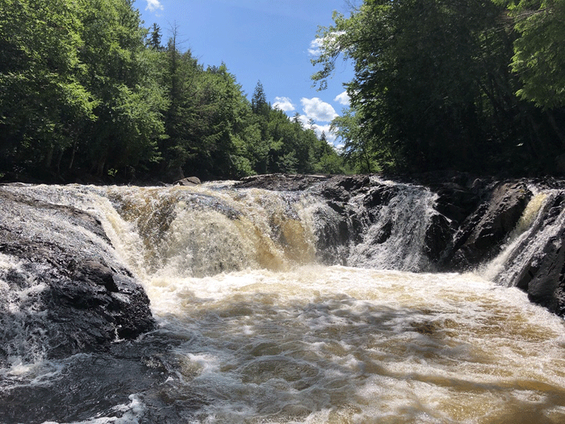
The Lower Falls are a sight to behold. The powerful white rapids rushing over the dark and jagged rock of the riverbed below create a brilliant display. The round churning pool where the semicircle of falls converge is almost yellow from minerals in the waters, and the rocks surrounding the falls allow visitors to get an up-close look from a safe perch. The Upper Falls are similar and not as easily accessed, but the trail to them is very interesting, running alongside the river and up a number of stone staircases. After a long hike in, there is much to explore at both sites before the return trip.
Click here to download for a map and directions to Raquette Falls.
When You Hike Make Sure to Practice “Leave No Trace” to be Prepared and Protect the Forest Preserve
Please follow “carry in, carry out” rules for all trash and follow other Leave No Trace principles when hiking in the public Forest Preserve and other wild areas. The seven Leave No Trace principles are: 1) Plan ahead and prepare ; 2) Stay on hiking trails and camp at designated areas; 3) Dispose of human waste and trash properly; 4) Leave what you find; 5) Minimize campfires; 6) Respect wildlife; 7) Respect other hikers.
Educated hikers do not damage the environment.
Prepared hikers do not need search and rescue unless injured.
Winter Use: Raquette Falls is popular for cross-country skiing in the winter.

